I’ve been asked this a lot.
![]()
What does the color scale on the light pollution map actually mean? There are 15 colors found on the map. Some have tried to tie it into the Bortle Scale or into specific SQM readings. But I’ve purposely avoided defining the color scale. This is for several reasons:
- The map doesn’t take weather into account. Humidity in particular has a big effect. When there’s a lot of moisture in the air it tends to scatter the skyglow over greater distances. Whereas air with low moisture content can yield darker skies even close to a town. All else being equal, the same color zone will be darker in a dry climate compared to a humid one. Smoke and air pollution also have an effect.
- The map doesn’t take elevation or terrain into account. An observing site on a mountain top will often have a much clearer sky because you’re above a lot of the haze and air pollution in the lower atmosphere. A high vantage point lets you see stars all the way down to the horizon and puts you above a lot of the light domes. But because you can see so far there may still be plenty of lights in the distance. When you observe from a valley, a hill or mountain may block the light dome from the nearest town. Of course the stars in that direction will also be blocked, but this can make the sky seem a lot darker.
- The map doesn’t take very localized lights into account. You might think you’ve found the perfect observing site by looking at the map. But when you visit at night you find out there’s a new oil drilling rig or a bright security light on the nearest farm house.
- Light pollution is not uniform across the sky. It will always be brightest in the direction of the nearest city. Consider what it is you want to observe and find a site that’s darkest in that direction. Most of the time, having a dark sky to the south is most important for seeing the milky way. But for seeing the aurora borealis, you want a dark sky to the north. For viewing planets or the moon, light pollution is not a concern, you just want to get away from the glare of nearby lights.
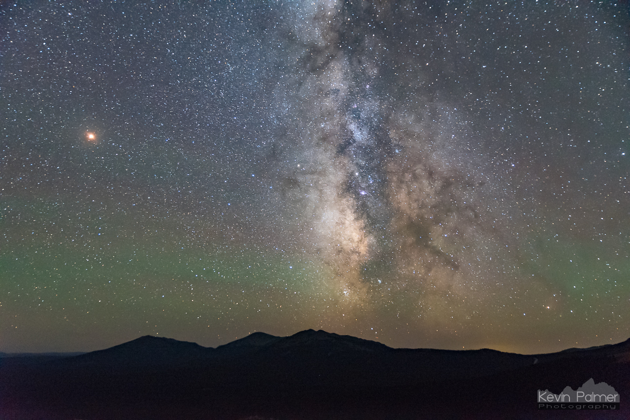
The milky way is seen from a dark gray zone in Wyoming.
The light pollution map is really just an estimate to help you find the best place near you to see the stars. But sites within the same color zone can have very different levels of light pollution. The only way to know for sure how dark a viewing location is, is to go there at night. Or you can visit a dark site submitted by other stargazers to be a little more certain of what to expect.
So what color zone should you seek out to find the best views of the stars? The short answer is to visit a black or gray zone. But for a lot of people that’s not practical as it’s simply too far away. I would recommend at least a green zone to get a taste of what a truly dark sky can offer.
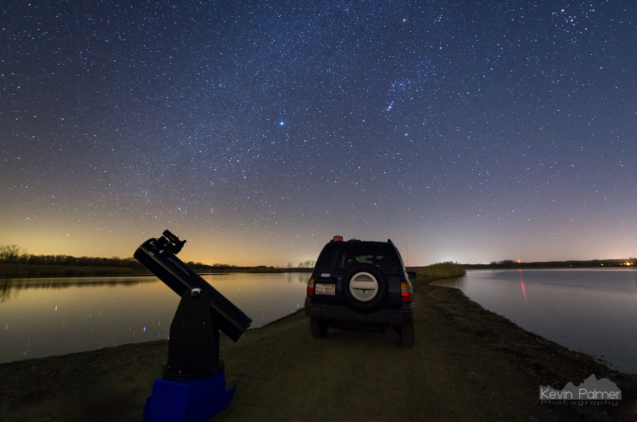
Stargazing from a light green zone in Illinois


